-
Enlace al metadato
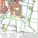
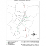
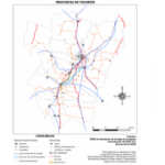
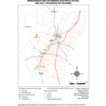
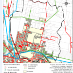
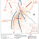
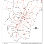
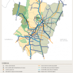
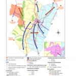
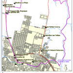
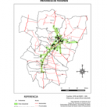
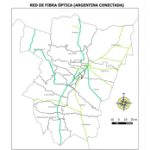
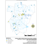
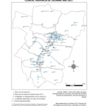
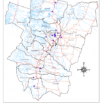
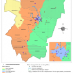
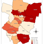
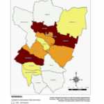
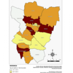
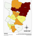
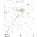
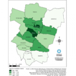
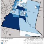
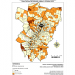
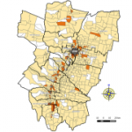
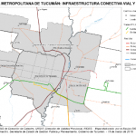
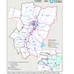
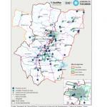
Descargar mapa en PNGMapa infraestructura conectiva vial y de red Gran San Miguel de Tucumán 2017
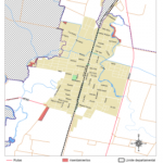
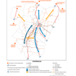
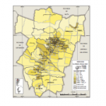
Mapa con la infraestructura vial (rutas, autopistas, avenidas principales) y fibra óptica de Gran San Miguel de Tucumán
Mapa con la infraestructura vial (rutas, autopistas, avenidas principales) y fibra óptica de Gran San Miguel de Tucumán
http://geosplan.tucuman.gob.ar/geoserver/SGPyP/wms?
WMS de GeoSPlan: LED
http://geosplan.tucuman.gob.ar/geoserver/LED/wms?
WMS de GeoSPlan: Proyecto Comuna El Mollar
http://geosplan.tucuman.gob.ar/geoserver/ElMollar/wms?
WMS de GeoSPlan: Capas Base
http://geosplan.tucuman.gob.ar/geoserver/CapasBase/wms?
WFS
Servicio WFS de GeoSPlan
http://geosplan.tucuman.gob.ar/geoserver/WFS_GEOSPLAN/wfs?