| DATO | FORMATO | INFORMACIÓN ADICIONAL |
|---|---|---|
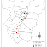
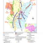
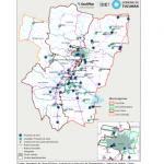
| Centros poblados Tucumán – base IGN, recorte Provincia de Tucumán | shapefile | Ver metadato |
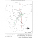
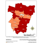
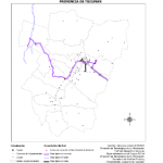
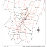
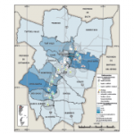
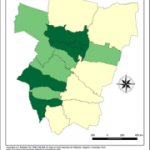
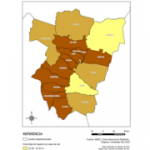
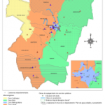
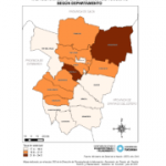
| Departamentos Tucumán | shapefile | Ver metadato |
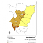
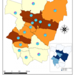
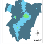
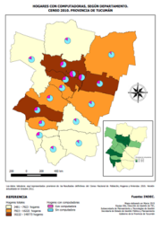
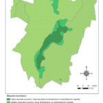
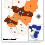
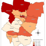
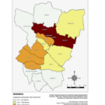
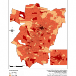
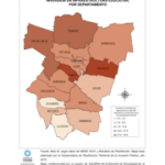
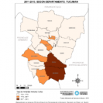
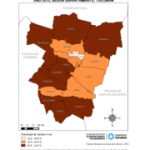
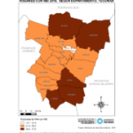
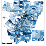
| IPMH 2001 y 2010, por departamento | shapefile | Ver metadato |
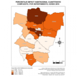
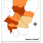
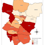
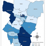
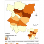
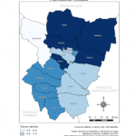
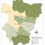
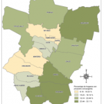
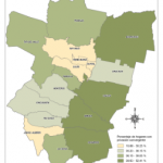
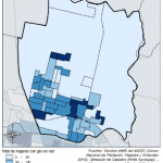
| NBI 2010, por departamento | shapefile | Ver metadato |
| Ubicación de cerros – base IGN, recorte Provincia de Tucumán | shapefile | |
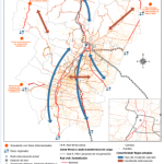
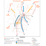
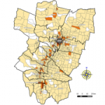
| Ciudades importantes, Tucumán | shapefile | |
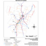
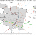
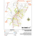
| Avenidas – base OpenStreet | shapefile | |
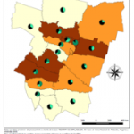
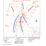
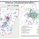
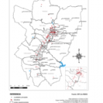
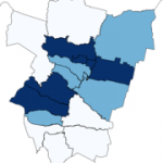
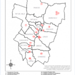
| Unidades regionales de la Policía de Tucumán | shapefile | Ver metadato |
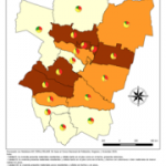
| Microrregiones SIPPE | shapefile | |
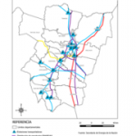
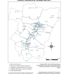
| Cursos de agua, base IGN, recorte Provincia de Tucumán | shapefile | Ver metadato |
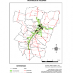
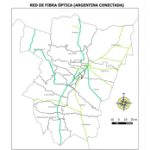
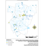
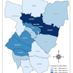
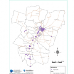
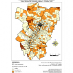
| Puntos de Acceso Digital (PAD) 2017 | shapefile | Ver metadato |
Proyecto Municipios (Capas locales)
| DATO | FORMATO | INFORMACIÓN ADICIONAL |
|---|---|---|
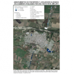
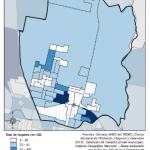
| Asentamientos 2016 – RENABAP y TECHO | shapefile | |
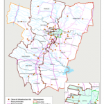
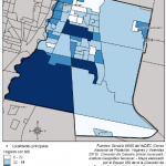
| Municipios y comunas, base IGN, recorte Provincia de Tucumán (actualizado) | shapefile | |
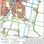
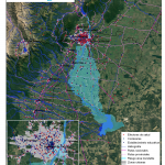
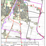
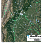
| Base Áreas amenazadas (inundables) – vulnerables – GeoSPlan | shapefile | |
| Parcelas catastrales de Tucumán – DGC | shapefile | |
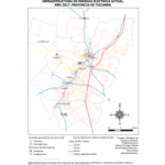
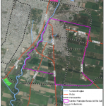
| Cursos de agua: ríos, arroyo, zanjón (base DRH) | shapefile | |
| Canales (base DRH; actualización GeoSPlan) | shapefile | |
| DEM – Municipio de Aguilares | tiff | |
| DEM – Municipio Banda del Río Salí | tiff | |
| DEM – Municipio de Concepción | tiff | |
| DEM – Municipio Juan Bautista Alberdi | tiff | |
| DEM – Municipio de Graneros | tiff | |
| DEM – Municipio Tafí Viejo | tiff | |
| IPMH por radios censales – Dir. Estadística | shapefile | |
| Radios censales – Dir. Estadística | shapefile | |
| Indicadores vulnerabilidad por radios censales – INDEC | shapefile | |
| Callejero Aguilares – IPVyDU | shapefile | |
| Callejero Alderetes – IPVyDU | shapefile | |
| Callejero San Miguel de Tucumán – IPVyDU | shapefile | |
| Callejero Yerba Buena – IPVyDU | shapefile | |
| Callejero Las Talitas – IPVyDU | shapefile | |
| Callejero Concepción – IPVyDU | shapefile |