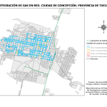
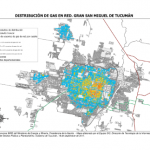
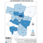
-
Enlace al metadato
Descargar mapa en PDF
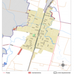
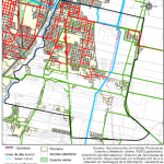
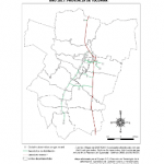
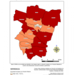
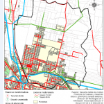
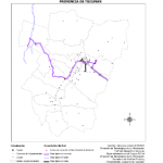
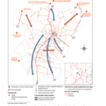
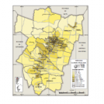
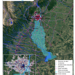
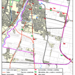
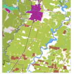
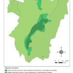
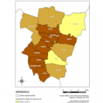
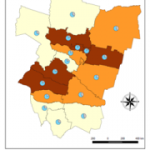
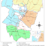
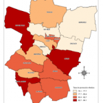
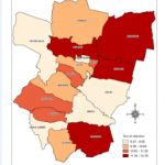
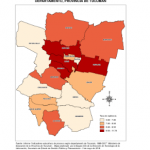
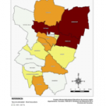
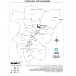
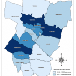
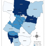
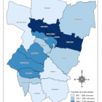
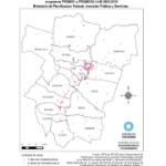
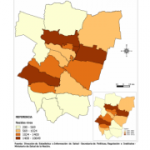
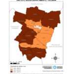
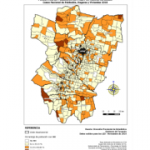
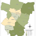
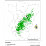
Mapa zafra 2012 e ingenios azucareros Tucumán
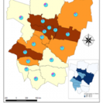
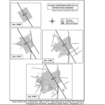
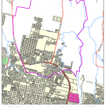
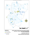
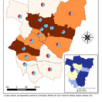
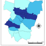
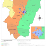
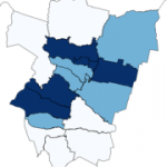
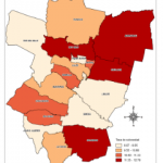
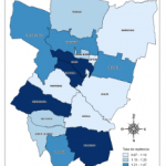
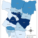
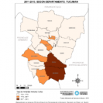
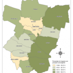
Mapa histórico
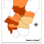
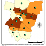
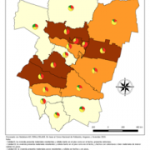
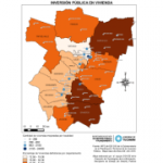
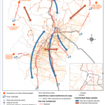
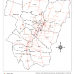
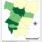
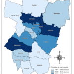
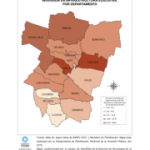
Mapa que representa las áreas de cultivo de azúcar en el año 2012.
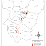
Mapa que representa las áreas de cultivo de azúcar en el año 2012.
http://geosplan.tucuman.gob.ar/geoserver/SGPyP/wms?
WMS de GeoSPlan: LED
http://geosplan.tucuman.gob.ar/geoserver/LED/wms?
WMS de GeoSPlan: Proyecto Comuna El Mollar
http://geosplan.tucuman.gob.ar/geoserver/ElMollar/wms?
WMS de GeoSPlan: Capas Base
http://geosplan.tucuman.gob.ar/geoserver/CapasBase/wms?
WFS
Servicio WFS de GeoSPlan
http://geosplan.tucuman.gob.ar/geoserver/WFS_GEOSPLAN/wfs?